2024 Annual Impact Report
 Dear Members, Partners, and Friends,
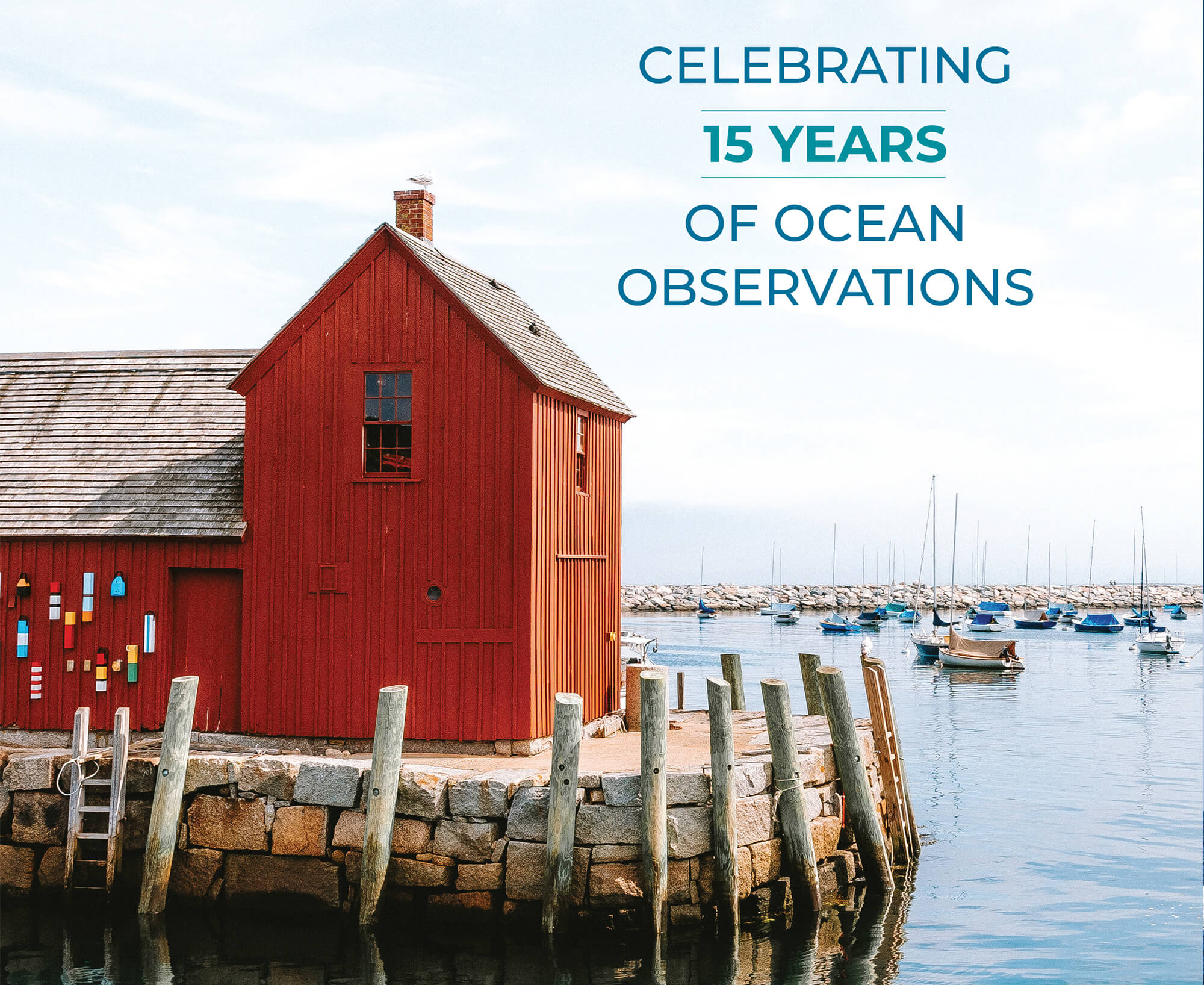
2024 was a memorable year for NERACOOS as we celebrated our 15th year of providing ocean data for critical decision-making. It’s inspiring to think back on all of the partnerships and milestones that have gone into building something that is vital to so many people.
Today, our ocean observation system includes buoys, oceanographic models, glider missions, radar stations, coastal sensors, water level stations, ship-based surveys, satellite remote sensing, and a suite of products that deliver data to the public. It has evolved into a multifaceted infrastructure that is continually expanding. These diverse assets, operated by a collaborative network of implementation partners, are the building blocks that support maritime safety, national security, and ocean enterprise, a pillar of the economy in the Northeast.
It would be easy to take our ocean observation system for granted. Yet, it has become an essential tool, grounded in more than twenty years of data, for understanding and responding to the challenges an ever-changing ocean poses.
As we look ahead to the future, we remain committed to improving our capabilities to ensure that data continue to support a sustainable, resilient, and productive ocean economy. We thank our partners, stakeholders, and team members for their dedication and collaboration over the past 15 years. Together, we are making a lasting impact on our oceans and the communities that depend on them.
Sincerely,
Jake Kritzer, Ph.D.
Executive Director
Look for the highlighted links sprinkled throughout this report to learn more about the people we worked with and the projects we focused on in 2024.
OUR MISSION IS TO PROVIDE OCEAN DATA FOR DECISIONS
Since 2009, NERACOOS has implemented the U.S. Integrated Ocean Observing System from Long Island Sound through the Gulf of Maine. We believe that everybody should have the information they need to advance resilient communities, economies, and marine ecosystems. To that end, we serve people by creating, organizing, and sharing information about the ocean.
We work in ways that are science-based, policy-neutral, and collaborative as we strive to meet the needs of ocean-reliant communities.
Real People Rely on NERACOOS Data
“Having up-to-date, instant access to information about sea conditions is vital for my work and ship safety. The difference between 10- and 12-foot seas can make a monumental difference in crew survival and planning for open-water voyages. Boat safety and security, routes, rescue plans for injury or emergency scenarios, and our ability to do an escort can change by the minute or foot.”
— Mark Wallerstein, T/B Independence
“Ensuring the safety of our passengers is our top priority as we navigate the Gulf of Maine in search of whales. With vast areas to cover and ever-changing conditions, having access to the real-time updates the NERACOOS Mariners’ Dashboard provides on offshore conditions is essential to providing a safe, smooth, and unforgettable whale-watching experience.”
— Julie Taylor, Bar Harbor Whale Watch Company
“When I get up, the first thing I do is check the buoy reports, especially during the wintertime when I’m scalloping. It is key to me making my decision if I’m going to go out fishing or not.”
— Bob Baines, F/V Thrasher
A Year of Expansion and Collaboration
Eleven water level sensors were installed throughout the Northeast to enhance coastal resilience by improving quality and coverage of water level observations in the face of storm surges, extreme rainfall, and rising sea levels.
Catalyzed a regional response to an unprecedented algal bloom that caused ‘brown water’ in the Gulf of Maine from April to August 2023. The two-day workshop, sponsored by NERACOOS and UNH, advanced the understanding of the bloom, evaluated the monitoring response, and recommended improvements for the coastal ocean observation system.
Two new webcams were installed in Camp Ellis, Maine to provide essential visual data for ongoing research and coastal management efforts in partnership with the Maine Geological Survey and the National Weather Service.
Initiated new industry partnership to facilitate data sharing to improve weather forecasting, navigation safety, search-and-rescue, ocean climate tracking, fisheries and wildlife management, and other essential user needs.
Two nor’easter storms that devastated Maine in January were observed and accurately modeled using data from the NERACOOS suite of products. The alignment between actual conditions and predicted values underscores the system’s accuracy as a vital tool for forecasting coastal weather events.
Launched The Dock, a Slack channel dedicated to fostering collaboration, sharing valuable insights on ocean observations in real-time, and growing a community focused on advancing ocean knowledge.
The NECAN regional plan, which prioritizes monitoring needs to streamline processes, was published in partnership with the Northeast Regional Ocean Council (NROC) and NOAA’s Ocean Acidification Program (OAP). These collaborations foster improved decision-making, accelerate response times, and enhance efficiency.
NERACOOS THROUGH THE YEARS
Since our founding in 2009, NERACOOS has worked with a network of partners to reach milestones that reflect our commitment to providing ocean data to help people make decisions. Explore this timeline of achievements that have shaped our organization’s journey.
-
 2009
20092009
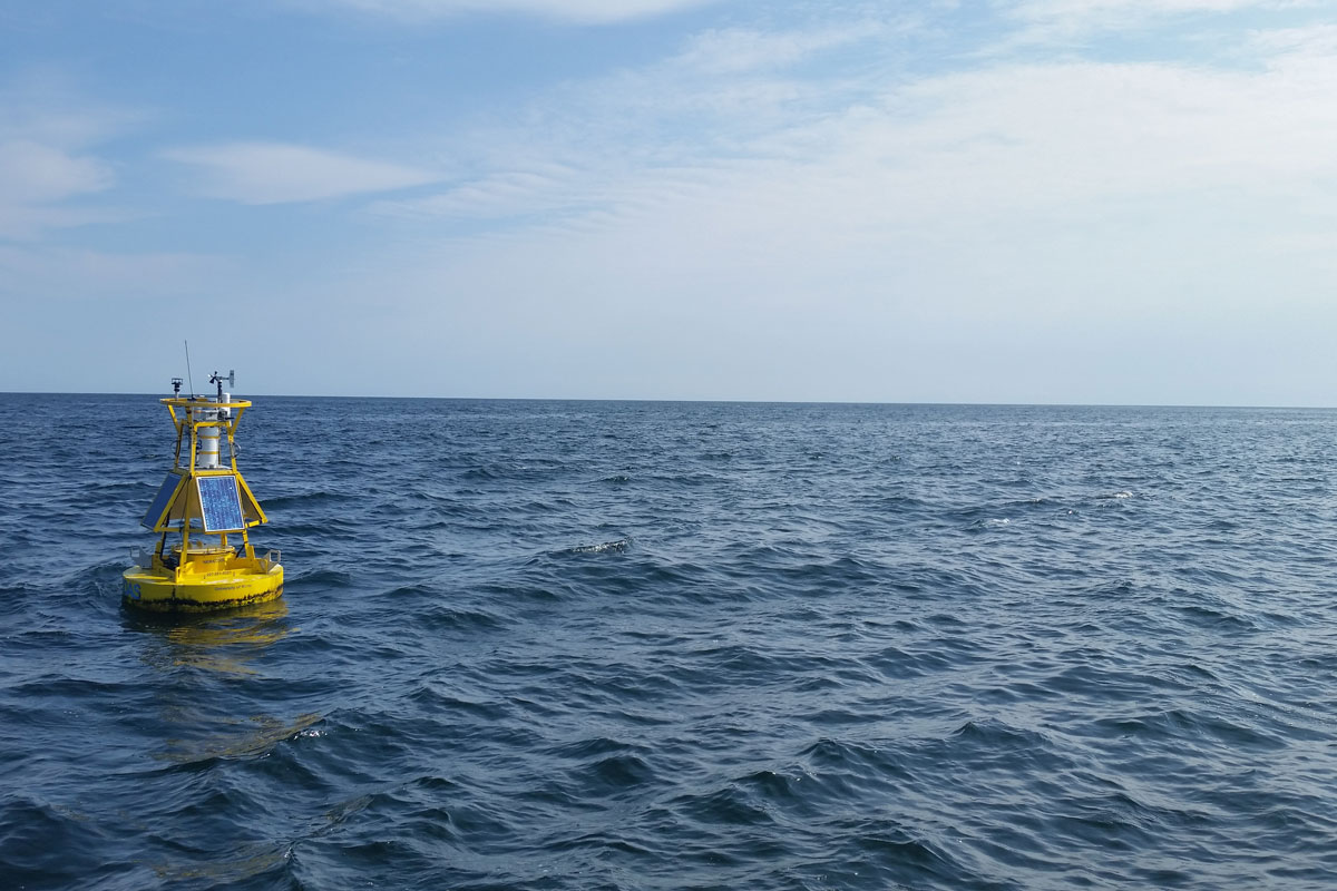
The Northeastern Regional Association of Coastal Ocean Observing Systems (NERACOOS) is established to deliver critical ocean and weather data to stakeholders from Long Island Sound through the Gulf of Maine.
-
 2010
20102010
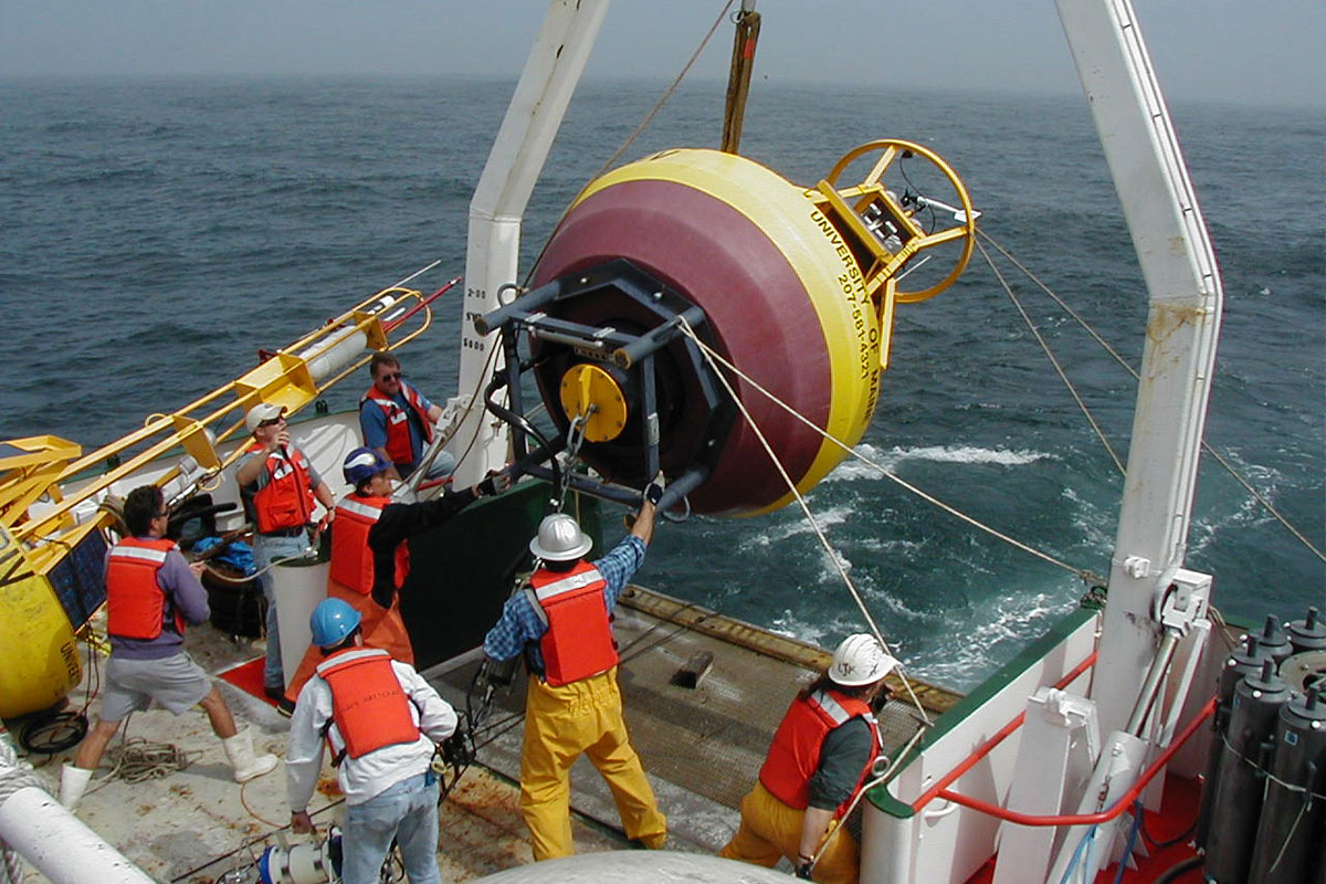
NERACOOS supports the development and implementation of the initial IOOS data management standards, working with partners to create a build out plan.
-
 2011
20112011
A high-tech unmanned maritime vehicle, the Wave Glider, is launched off the coast of Maine. The project was facilitated by IOOS and supported by partners including Liquid Robotics, NERACOOS, and UMaine.
-
 2012
20122012
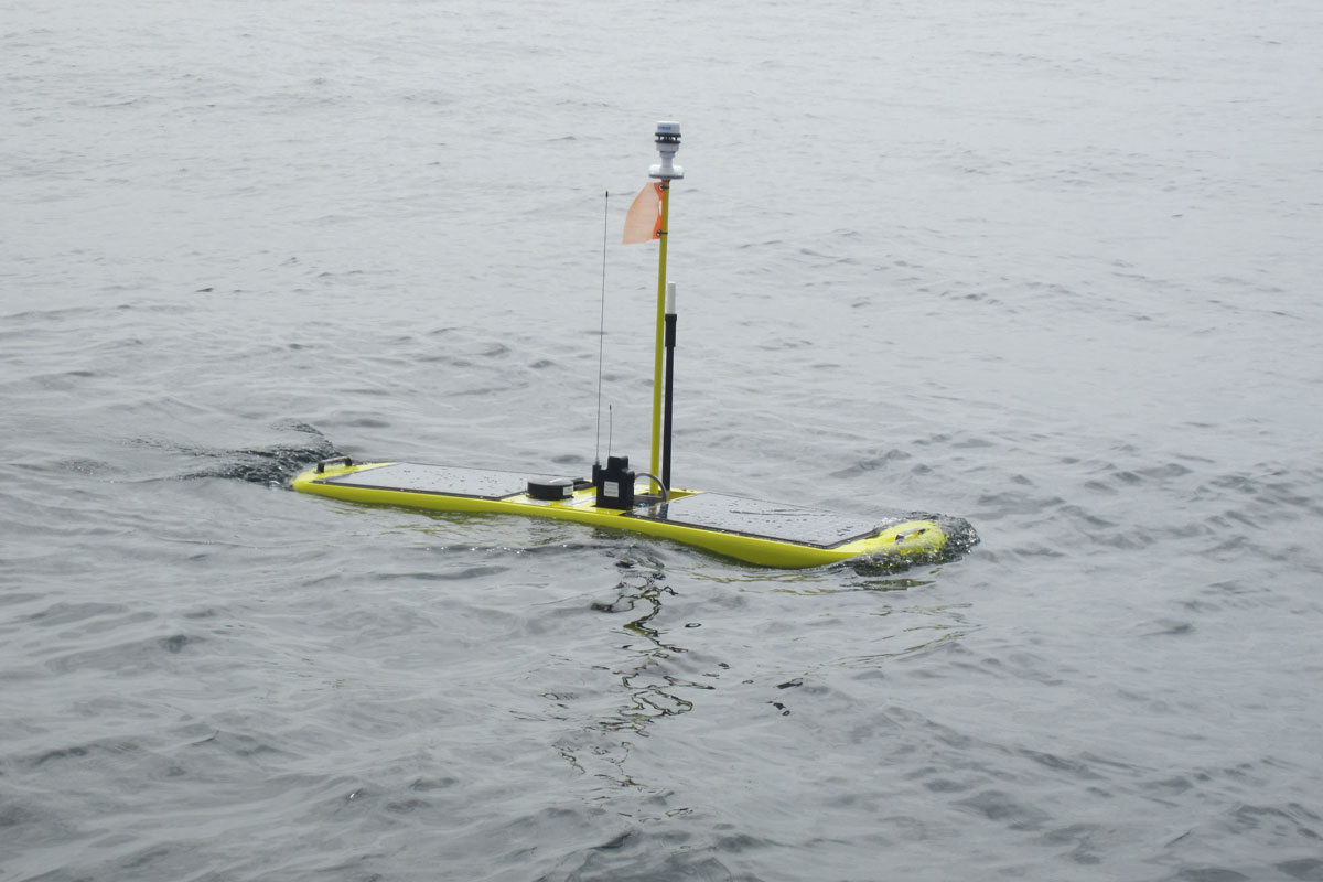
A high-tech unmanned maritime vehicle, the Wave Glider, is launched off the coast of Maine. The project was facilitated by IOOS and supported by partners including Liquid Robotics, NERACOOS, and UMaine.
-
 2013
20132013
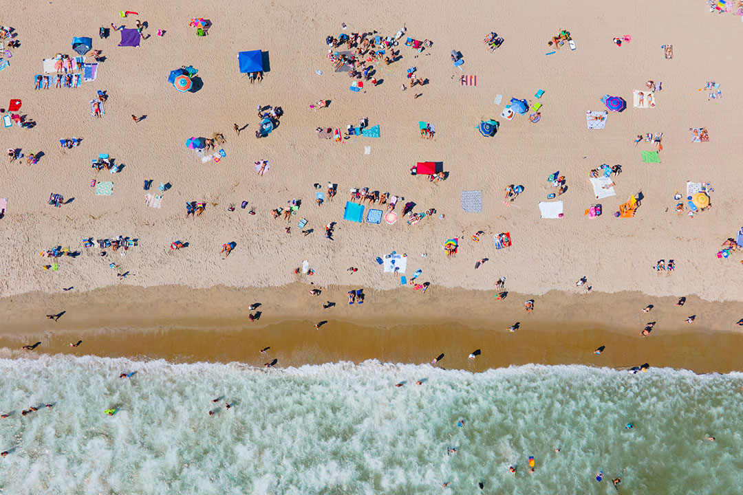
NERACOOS joins a partnership of local, state, and federal organizations in deploying a state-ofthe-art tide gauge at Hampton Harbor, N.H. The gauge provides critical water level information to help emergency responders, managers, weather forecasters, coastal planners, and others prepare and respond to the impacts of coastal storms.
-
 2014
20142014
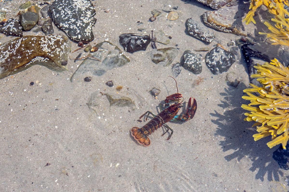
The Northeast Coastal Acidification Network (NECAN) is formed under NERACOOS to lead the synthesis and dissemination of ocean and coastal acidification information in the Northeast.
-
 2015
20152015
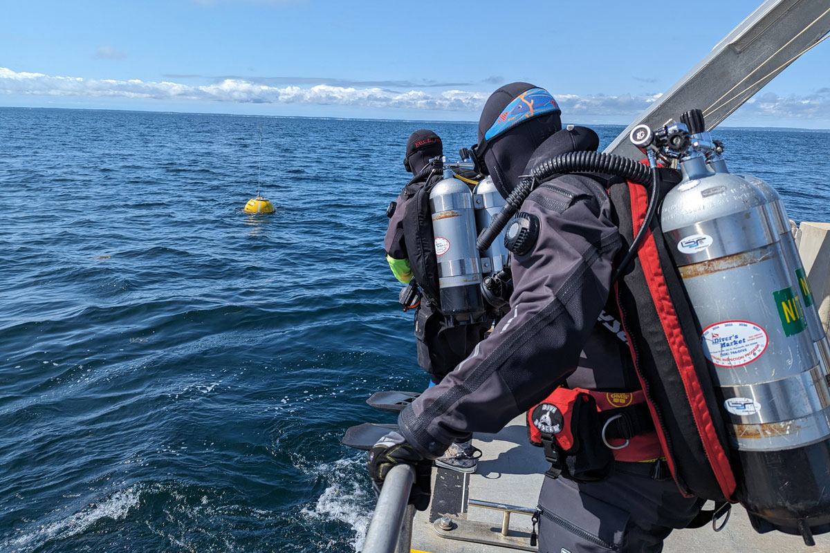
In conjunction with Sea-Bird Scientific, UConn, UMaine, UNH, and URI, NERACOOS expands observation capabilities by adding automated nutrient sensors throughout New England.
-
 2016
20162016
A wave buoy critical to safe passage in Cape Cod Bay deploys in partnership with MassDEP, the U.S. Coast Guard, Woods Hole Group, and NOAA CO-OPS. The buoy delivers real-time wave data to aid vessel navigation and improve marine forecasts.
-
 2017
20172017
NERACOOS receives its first certification as a Regional Information Coordination Entity by IOOS.
-
 2018
20182018
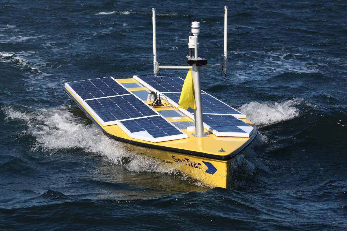
NERACOOS partners with WHOI and MassBays to trial SeaTrac’s autonomous vessel to detect harmful algal blooms along the Maine coast and monitor water quality near Duxbury, MA.
-
 2019
20192019
NERACOOS partners with UNH and UMaine to sustain long-term plankton monitoring in the Gulf of Maine.
-
 2020
20202020
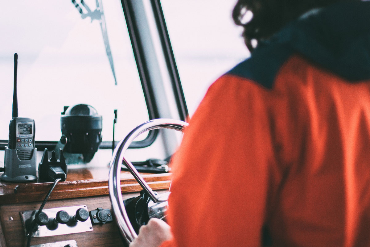
The Mariners’ Dashboard, developed by GMRI, launches to deliver real-time weather and ocean observations, trends, and forecasts.
-
-
 2022
20222022
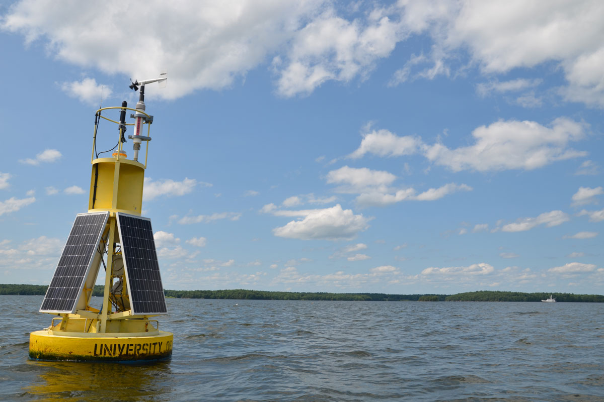
A modernized buoy dedicated to Dr. Ru Morrison, the founding director of NERACOOS, is installed in Great Bay, NH. Ru initiated the original buoy at that location during his time at UNH.
-
 2023
20232023
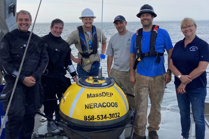
A wave buoy in Buzzards Bay completes its first year of providing data on ocean conditions. A collaboration between NERACOOS, MassDEP, NOAA CO-OPS, and Woods Hole Group supports this project to enhance safe and efficient navigation.
-
 2024
20242024
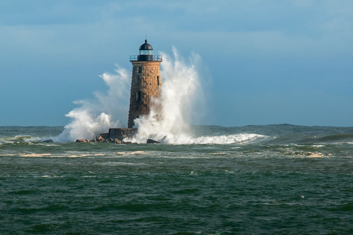
NERACOOS partners with MARACOOS, RPS Tetra Tech, and GMRI to develop a metocean data system that will share data to improve safety and knowledge.
-
 2025
20252025
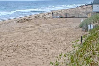
A webcam is installed in Westerly, Rhode Island to monitor shoreline change and beach usage as part of the Webcoos network. This partnership between NERACOOS, RI Coastal Resources Management Council, and The University of Rhode Island Enhances Coastal Monitoring monitors shoreline change and beach usage.
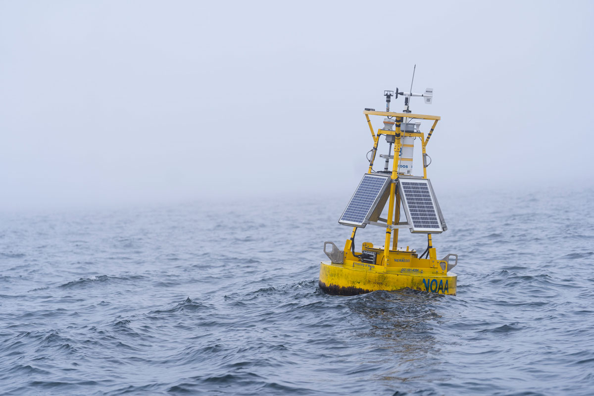

This map highlights partners that were operating assets connected to our system in 2024.
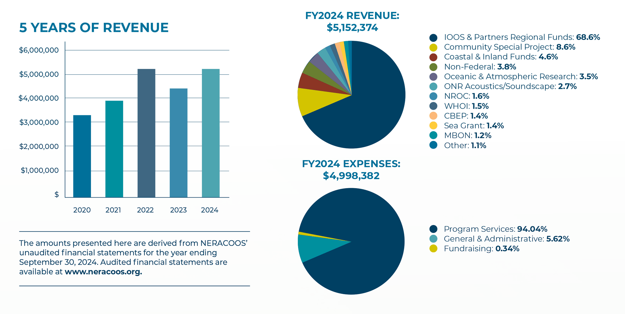
2024 Financials
NERACOOS is funded primarily by National Oceanic and Atmospheric Administration through the U.S. IOOS Regional Program. In 2024, NERACOOS received additional funding from NOAA’s Community Special Projects, IOOS Coastal & Inland Flooding, Lenfest Ocean Program, NOAA’s Oceanic & Atmospheric Research – Climate Program Office, Office of Naval Research, NOAA’s National Oceanographic Partnership Program, Northeast Regional Ocean Council, Woods Hole Oceanographic Institution, NOAA’s National Centers for Coastal Ocean Science, Environmental Protection Agency through the Casco Bay Estuary Program and the University of Maine, University of New Hampshire, New Hampshire Sea Grant, Maine Sea Grant, NOAA’s Marine Biodiversity Observation Network, NOAA’s Operational Oceanographic Products and Services, NOAA Fisheries, NOAA’s Ocean Acidification Program, NOAA’s Office for Coastal Management, Massachusetts Department of Environmental Protection, Brown University, National Aeronautics and Space Administration, Massachusetts Water Resources Authority, Gulf of Maine Lobster Foundation, and others.
2024 NERACOOS Board of Directors
OFFICERS
Rhonda Moniz, President, Underwater Investigative Group
Nicole Bartlett, Vice President, NOAA North Atlantic Regional Team
Prassede Vella, Secretary, Massachusetts Bays National Estuary Partnership
Chris Williams, Treasurer, New Hampshire Dept. Environmental Services
DIRECTORS
Larry Alade — NOAA Northeast Fisheries Science Center
Janet Duffy-Anderson — Gulf of Maine Research Institute
Shayla Fitzsimmons — Canadian Integrated Ocean Observing System
Diane Foster — Woods Hole Oceanographic Institution
Catherine Johnson — Department of Fisheries and Oceans Canada
Steve Lohrenz — University of Massachusetts Dartmouth
Todd Morrison — NOBSKA Development Corporation
Kevin O’Brien — Connecticut National Estuarine Research Reserve
Katie O’Brien Clayton — Connecticut Department of Energy and Environmental Protection
Jim O’Donnel — University of Connecticut
Rebecca Peters — Maine Department of Marine Resources
Neal Pettigrew — University of Maine
Hung Pham — Massachusetts Maritime Academy
Jane Sawyers — Rhode Island Dept. of Environmental Management
Aleck Wang — Woods Hole Oceanographic Institution
David Wu — Massachusetts Water Resources Authority
NERACOOS Staff
Jake Kritzer Executive Director
Katy Bland, Engagement and Research Manager
Rob Cardeiro, Finance Director
Brenda Darroch, Marketing Communications Manager
Jackie Motyka, Strategy Director
Austin Pugh, Program Coordinator
Caitlin Shanahan, Administrative Assistant
Tom Shyka, Technology Director
Emily Silva, Grants Manager
Anna Simpson, Coastal Resilience Manager
Cameron Thompson, Pelagic Ecologist
2024 NERACOOS Membership
SUSTAINING MEMBERS
Kelly Cove Salmon
Massachusetts Water Resources Authority
University of Connecticut
University of Maine School of Marine Sciences
University of Massachusetts Dartmouth
University of New Hampshire
SUPPORTING MEMBERS
Penobscot Bay and River Pilots Association
The Center for Coastal Studies
Woods Hole Group
Woods Hole Oceanographic Institution
ASSOCIATE MEMBERS
Mel Cote
Connecticut Dept. of Energy & Environmental Protection
Fisheries and Oceans Canada
Footprints in the Water
Gulf of Maine Lobster Foundation
Maine Department of Marine Resources
Massachusetts Lobstermen’s Association
St. Lawrence Global Observatory
Waterview Consulting
AFFILIATES
Environmental Protection Agency
Gulf of Maine Council on the Marine Environment
Gulf of Maine Research Institute
Massachusetts Bays Program
Massachusetts Coastal Zone Management
Narragansett Bay National Estuarine Research Reserve
New Hampshire Department of Environmental Services
The NERACOOS Membership program assists our system’s operation and improvement.
Thank you, Members, for your generosity! If you are interested in supporting NERACOOS by becoming a member, learn more at neracoos.org/membership